Toronto archival maps 2011
The city of Toronto’s archives have put up high quality scans of some beautiful historical maps of the city. Unfortunately, they’re trapped inside an image format nobody can read!
On this page, I’ve set them free, making them available in a range of formats.
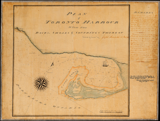
Plan of Toronto Harbour, Joseph Bouchette, 1792, MT 101
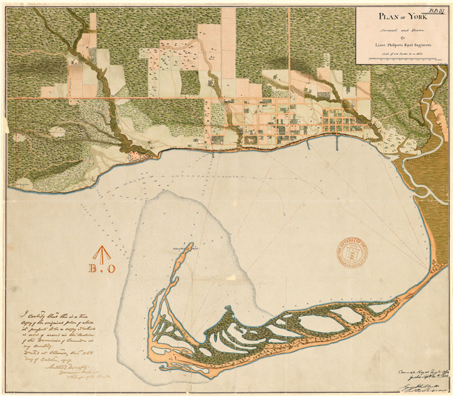
Plan of York, Lieut. Philpotts, 1818, MT 109<
Topographical map of the city and liberties of Toronto, James Cane, 1842, MT 255
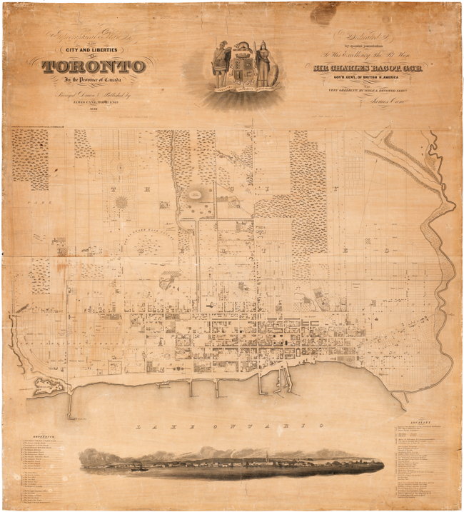
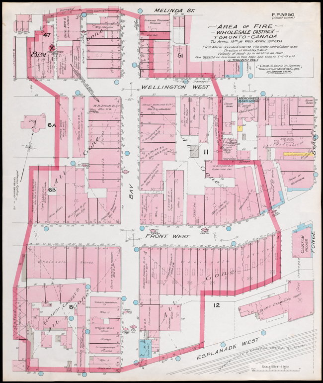
Fire insurance plan showing extent of fire, Charles Edwin Goad, 1904, MT 799
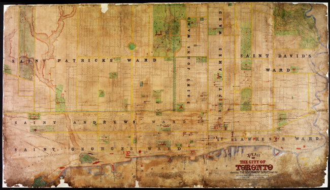
Plan of the City of Toronto, H.J. Browne, 1862, MT 845
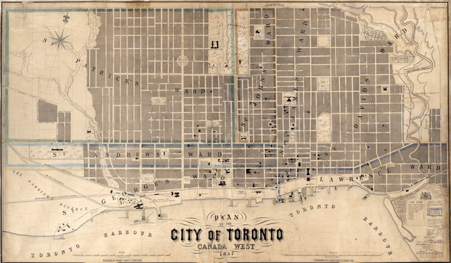
Plan of the City of Toronto, Canada West, Fleming Ridout & Schreiber, 1857, Series 88, Item 13
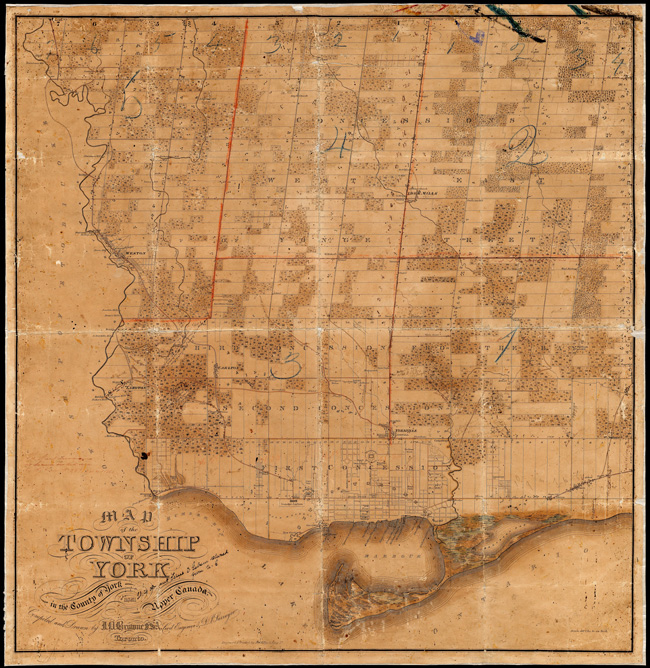
Plan of the Township of York, J.O. Browne, 1851, Series 443, File 40
